

Access
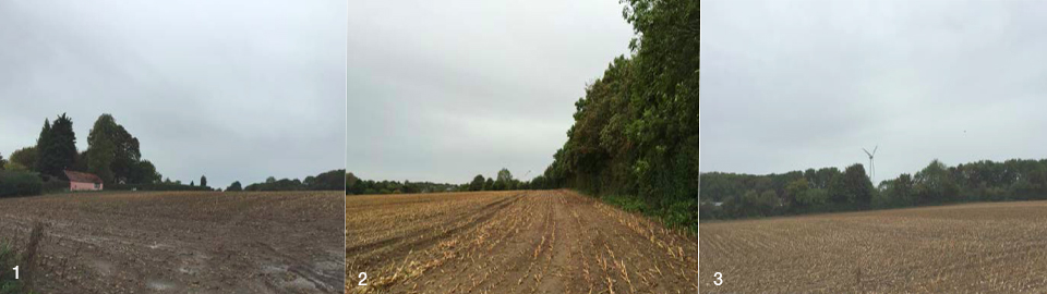
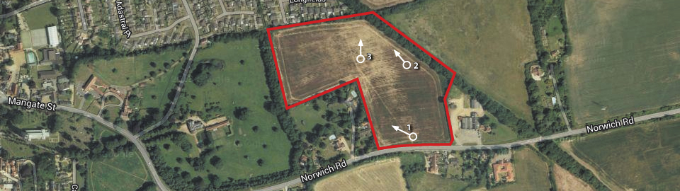
The proposed development site comprises 6.4 hectares (15.7 acres) of agricultural land. It is located to east of the main settlement of Swaffham and is adjoined by the existing development to the north. The site currently comprises an agricultural field, with mature hedgerows and trees along the northern and western boundaries. To the south of the site is Norwich Road which joins the A47 connecting Kings Lynn and Norwich. Swaffham can be accessed via the A47 which connects the town to Nowich City Centre and Kings Lynn. Kings Lynn is located approximately 15 miles west of Swaffham, and offers a large variety of services and facilities. The town itself offers a wide range of services and facilities which are within walking and cycling distance of the site.
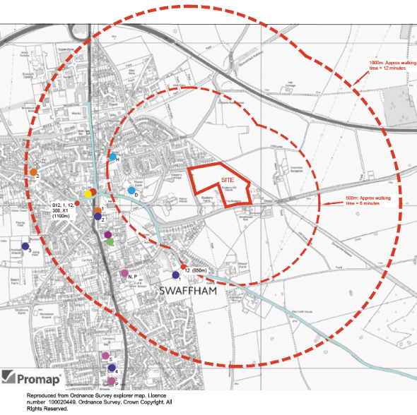
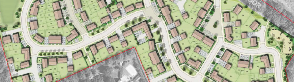
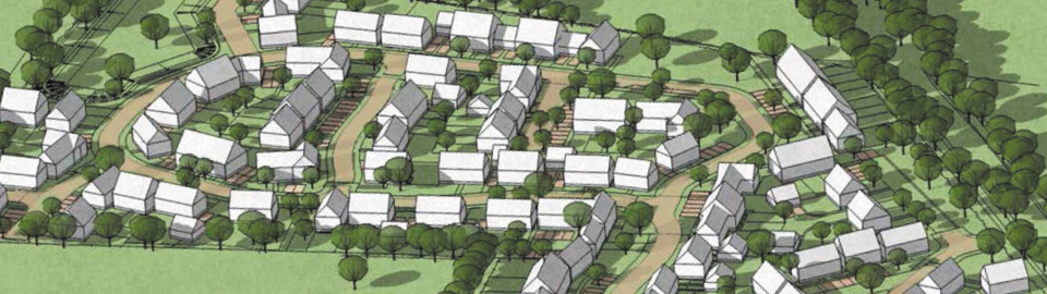
The proposed development is located within a sustainable location which is within an acceptable walking and cycling distance of local facilities including the Primary School.
Key to diagram
The proposed development of the site will result in a number of new vehicle trips on the highway network. These new trips will access the highway network via Norwich Road. The predicted number of trips generated by the proposed development is shown in the table below.